When I’m not doing museum stuff I try and spend as much time out and about in the Wiltshire countryside as I can. It’s a county stacked full of amazing history, much of which is visible right in front of your eyes: from iron age hill-forts to neolithic long barrows, ancient trackways to white horses we’ve got the lot.
Over the years I’ve developed a fascination with a more recent defensive structure that spans the breadth of the whole county – the world war two stop lines. Constructed in the summer of 1940, these lines of pillboxes, tank obstacles and barriers were constructed to provide a delaying tactic should any invading German force make it inland.
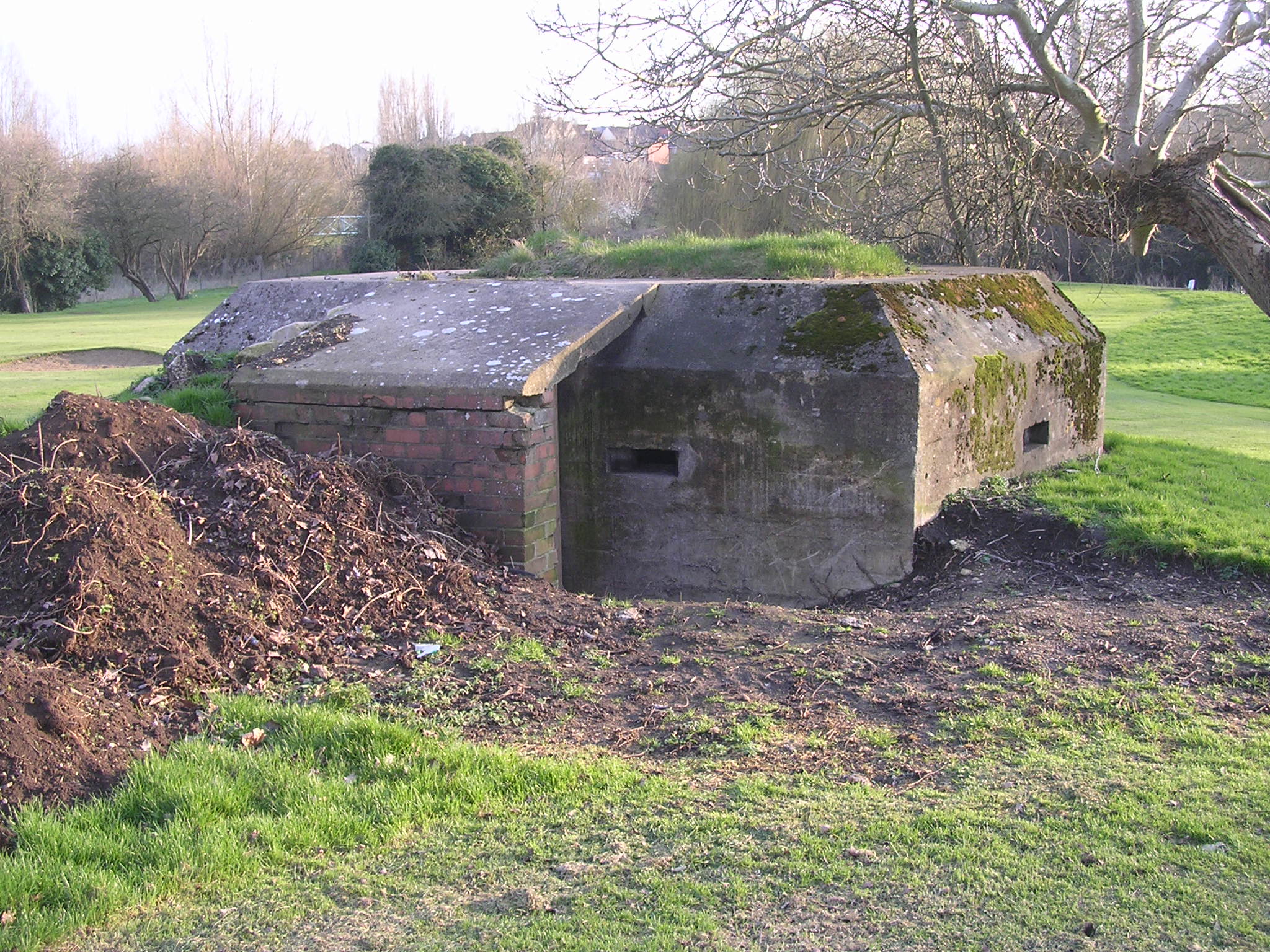
Despite being over 80 years old many of the Wiltshire structure are still visible in the landscape. Over the last few years I’ve been trekking around to see what I can find and photograph. Thanks to the work of the team at the Wiltshire and Swindon History Centre the photos of the stop line and much other WW2 material besides can now be viewed online.
It has been added as a layer to the Know Your Place – Wiltshire website, a mapping website where you can see all sorts of historical information.
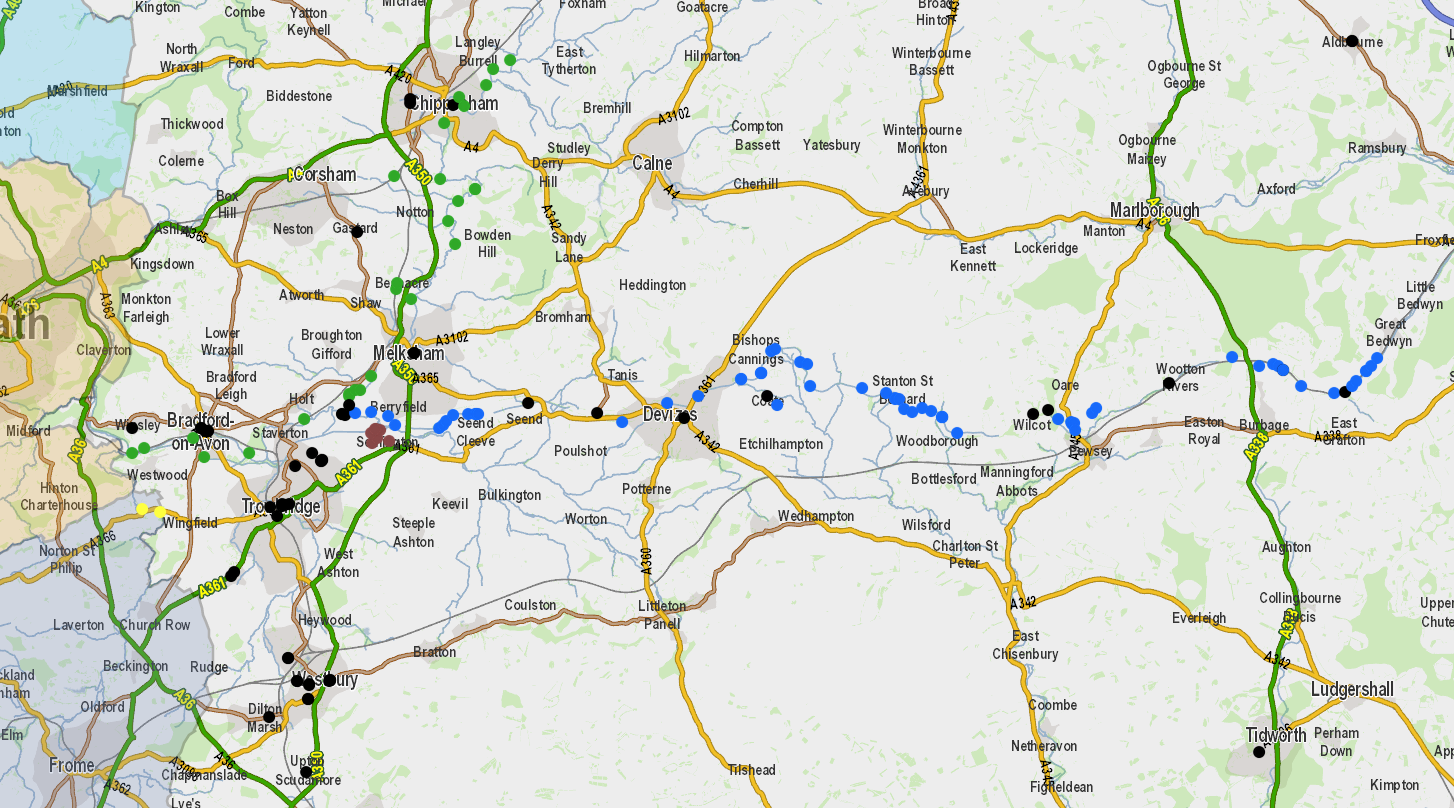
To view the stoplines on the website uncheck ‘community layer’ in the legend, scroll down to ‘other collections’ and select WW2. All the associated images and documents will then be displayed as coloured dots on the map, which you can click on to see further information. You can clearly see the routes of the stop lines stretching across the county.
Hours of fun to explore on-line or even better out in the field!
